Leadville, CO 80461,7259 La Plata & #2-3
See all 11 photos
Leadville, CO 80461,7259 La Plata & #2-3
REQUEST A TOUR If you would like to see this home without being there in person, select the "Virtual Tour" option and your agent will contact you to discuss available opportunities.
In-PersonVirtual Tour
$ 75,000
Est. payment /mo
Save
Active

7259 La Plata & #2-3 Leadville, CO 80461

30.99 Acres Lot


UPDATED:

10/30/2024 08:49 PM

Key Details

Property Type Vacant Land

Sub Type Unimproved Land

Listing Status Active

Purchase Type For Sale

Subdivision Leadville

MLS Listing ID 6087381

HOA Y/N false

Originating Board REcolorado

Annual Tax Amount $681

Lot Size 30.990 Acres

Acres 30.99

Property Description

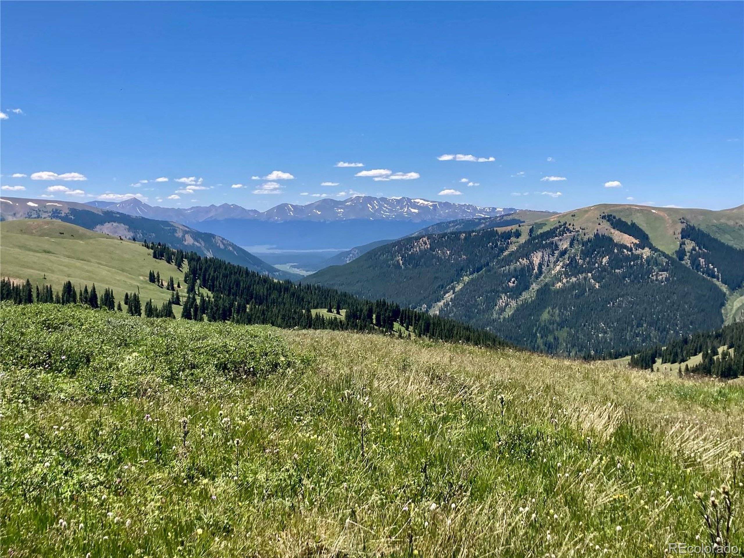
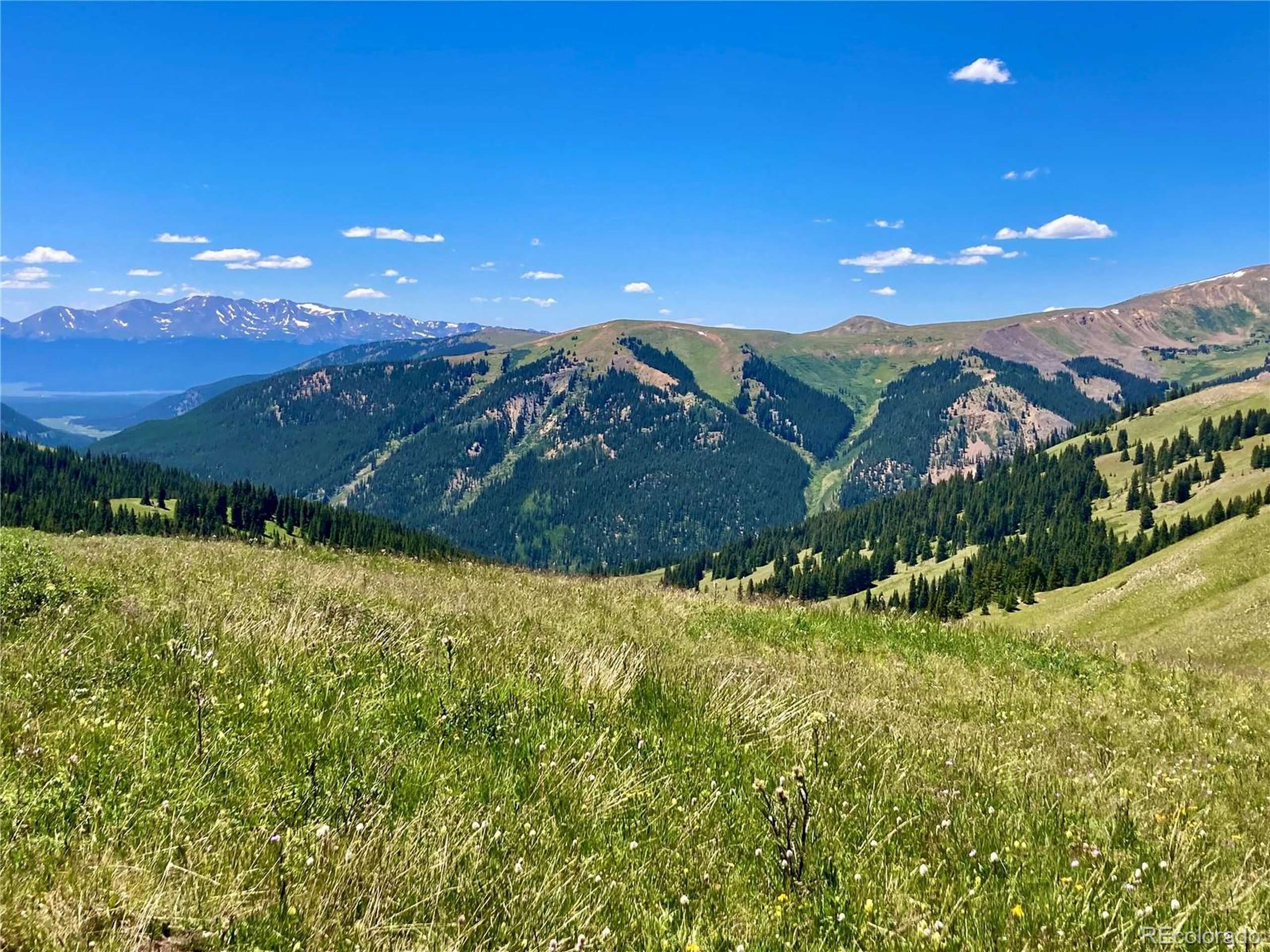
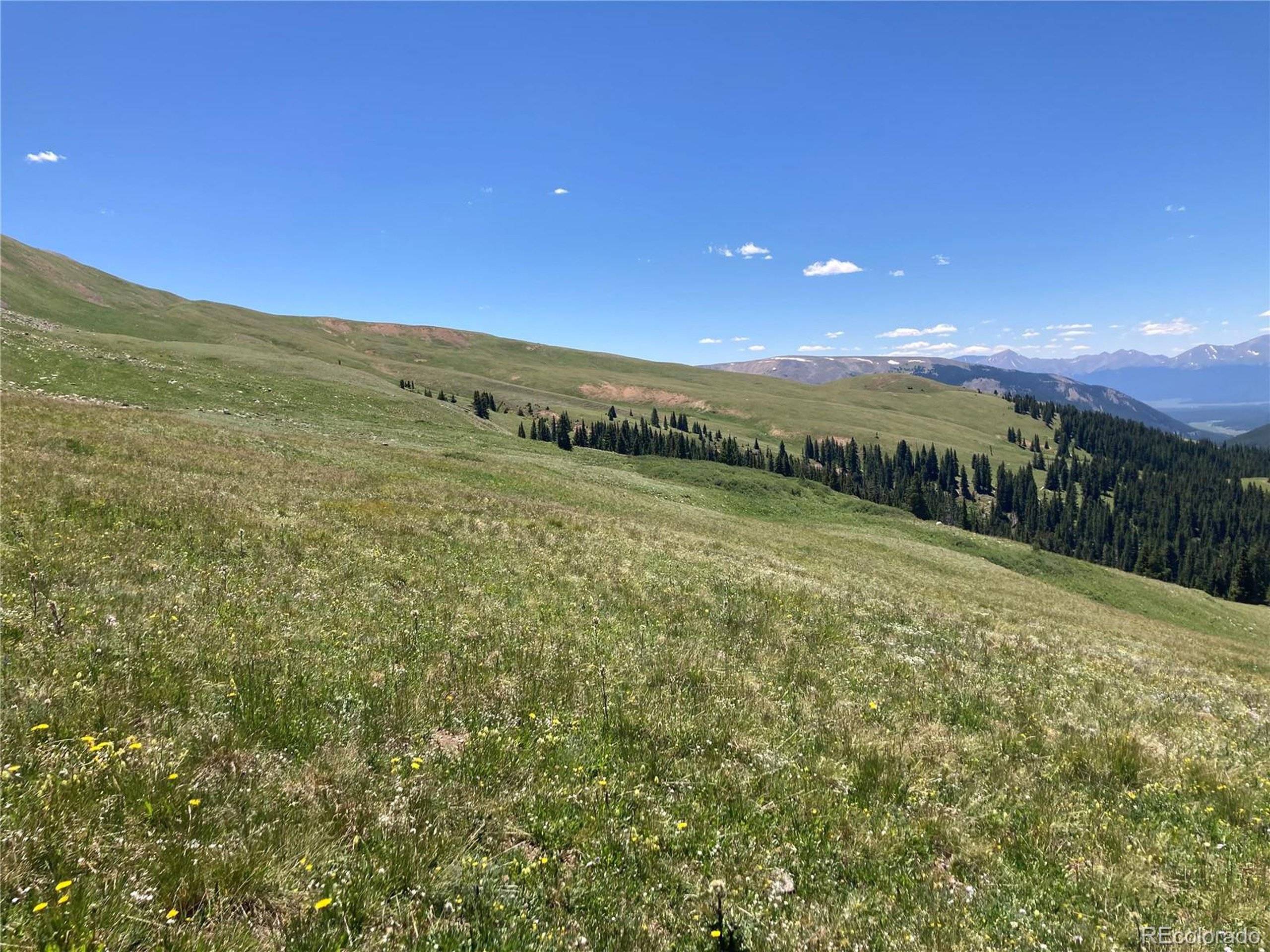
This beautiful high mountain meadow surrounded by National Forest and is heaven on earth! Amazing views of Mt. Elbert and Mt. Massive and views all the way to Turquoise Lake. Great area for hunting and hiking. Located in the back county zoning this parcel is possible for limited camping and uses, see Lake County Land Use website for Back County Zoning and camping regulations. Come spend the day and hike into the area. GPS is needed to find the claim, coordinates are listing in the directions, location is based on Lake County assessor's map. It is not possible to add utilities or a road to access the property. Transfer is on a quit claim. This is not an easy hike and will need preparation but it's amazing when you get there.

Location

State CO

County Lake

Area Out Of Area

Zoning Back Country

Direction This is not an easy hike. The agent has not been to the property. From Leadville head east on Highway 91 towards Climax Mine. Turn right at the Storke Curve. Drive up Forest Service Road 135 and park the car best is before the railroad tracks. This road gets rough and doesn't go to the property. There is a gate - do not go beyond the gate, there is no room to park. Follow the GPS coordinates and be careful to not trespass on private land. GPS NE corner 39.34278, -106.18864, SE corner 39.33883, -106.18853, NW corner 39.34274, -106.1917, SW 39.33872, -106.19157. These are estimates locations. Call if you have questions.

Exterior

Waterfront false

View Mountain(s), Water

Building

Lot Description Abuts National Forest

New Construction false

Schools

School District Lake County R-1

Others

Senior Community false

Special Listing Condition Private Owner


Information and Real Estate Services (IRES)
Listed by ASPEN LEAF REALTY • [email protected],719-486-1930

GET MORE INFORMATION

Name
Phone*
Message

By registering you agree to our Terms of Service & Privacy Policy. Consent is not a condition of buying a property, goods, or services.

Go tour this home

7259 La Plata & #2-3